gempy.plot_2d
-
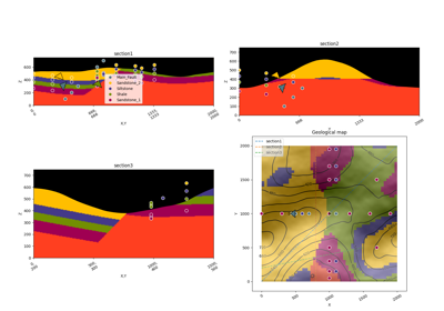
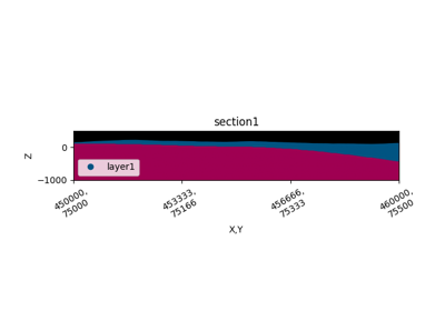
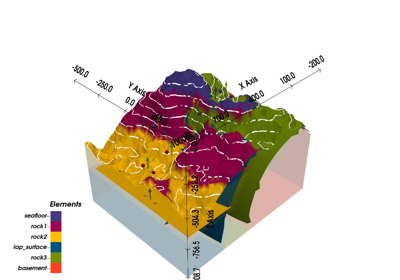
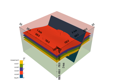
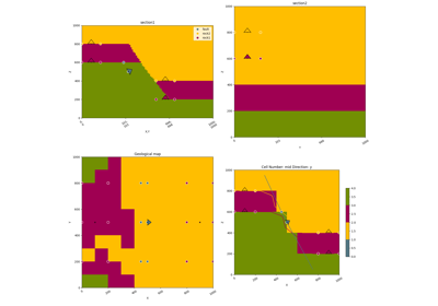
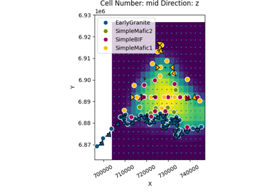
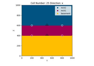
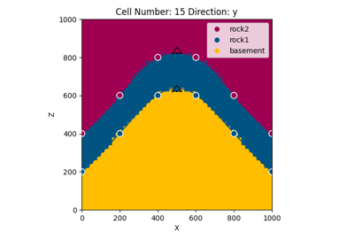
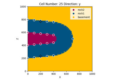
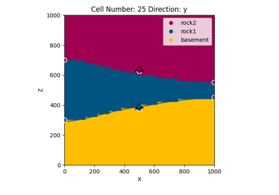
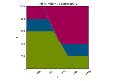
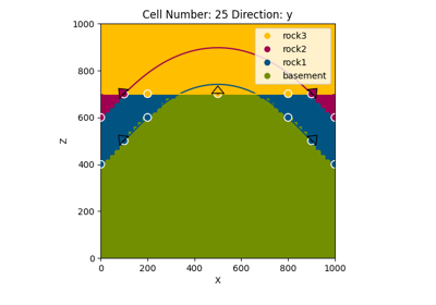
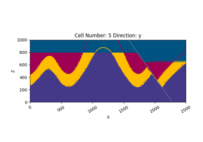
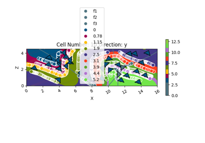
gempy.plot_2d(model, n_axis=None, section_names: Optional[list] = None, cell_number: Optional[list] = None, direction: list = 'y', show_data: Union[bool, list] = True, show_results: Union[bool, list] = True, show_lith: Union[bool, list] = True, show_values: Union[bool, list] = False, show_block: Union[bool, list] = False, show_scalar: Union[bool, list] = False, show_boundaries: Union[bool, list] = True, show_topography: Union[bool, list] = False, show_section_traces: Union[bool, list] = True, series_n: Union[int, List[int]] = 0, ve=1, block=None, regular_grid=None, kwargs_topography=None, kwargs_regular_grid=None, **kwargs)[source]¶ Plot 2-D sections of geomodel.
Plot cross sections either based on custom section traces or cell number in xyz direction. Options to plot lithology block, scalar field or rendered surface lines. Input data and topography can be included.
- Parameters
show_block (bool) – If True and model has been computed, plot cross section of the final model.
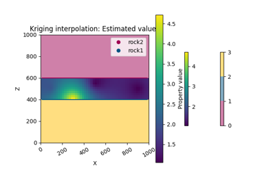
show_values (bool) – If True and model has been computed, plot cross section of the value… TODO need to add attribute to choose which value to be plot
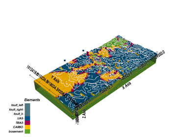
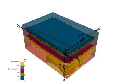
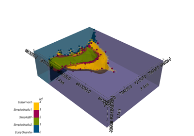
model – Geomodel object with solutions.
n_axis (int) – Subplot axis for multiple sections
section_names (list) – Names of predefined custom section traces
cell_number (list) – Position of the array to plot
direction (str) – Cartesian direction to be plotted (xyz)
show_data (bool) – Show original input data. Defaults to True.
show_results (bool) – If False, override show lith, show_calar, show_values
show_lith (bool) – Show lithological block volumes. Defaults to True.
show_scalar (bool) – Show scalar field isolines. Defaults to False.
show_boundaries (bool) – Show surface boundaries as lines. Defaults to True.
show_topography (bool) – Show topography on plot. Defaults to False.
series_n (int) – number of the scalar field.
ve (float) – vertical exageration
regular_grid (numpy.ndarray) – Numpy array of the size of model.grid.regular_grid
kwargs_topography (dict) –
fill_contour
hillshade (bool): Calculate and add hillshading using elevation data
azdeg (float): azimuth of sun for hillshade
altdeg (float): altitude in degrees of sun for hillshade
- Keyword Arguments
- Returns
Plot2D object
- Return type
gempy.plot.visualization_2d.Plot2D